
Difference Between Plane Surveying and Geodetic Surveying
To someone outside the building industry, all forms of surveys are the same. However, the professionals involved in the industry, such as Galloway architects, know the difference and understand why the knowledge of it is important to their work.
Surveying is done in two major ways; plane surveying and geodetic surveying. They are both different from one another.
Plane surveying
Plane surveying holds the premise that the earth is flat and that all its angles, elevations, and depressions are also flat. Plane surveying is carried out to map out points in the area for creating the best-suited design. Simply put, plane surveying considers the earth’s topography to be flat; therefore, every impact of the curvature is discarded in planning a project.
Features of Plane Surveying
- In plane surveying, every measured line is deemed as parallel to others. All measured angles, including polygonal are also considered flat angels without elevation or depression.
- The accuracy of survey results is lower than that of geodetic surveying.
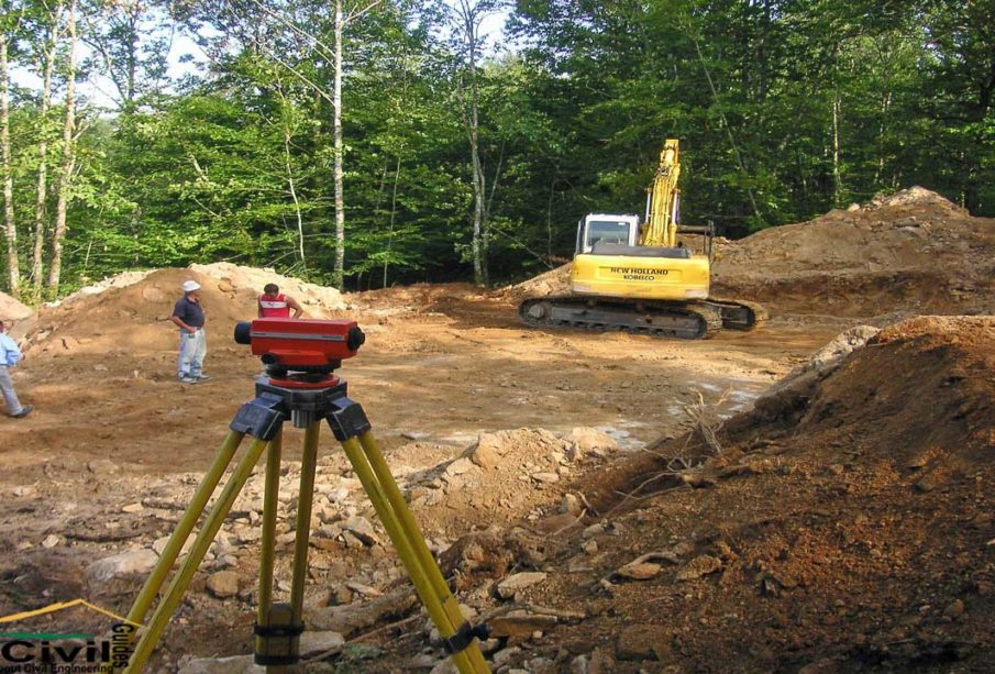
- Equipment used include the traditional survey equipment like a theodolite,
- The field values do not affect the accuracy of the survey.
Galloway architects typically work with plane surveying results when designing a building.
Geodetic surveying
Geodetic surveying takes into consideration the shape and curvature of the earth, together with the distance, angles of depression and elevation, and the bearing of the topography. Geodetic surveying measures the geodynamical properties of the earth.
Features of Geodetic surveying
- Every necessary detail of the shape and topography of the earth are considered.
- The equipment includes GPS and satellites in space. Thus, it is mostly performed by government bodies.
- The field values influence the precision and accuracy of the survey.
Differences between Plane and Geodetic Surveying
- Method:
In-plane surveying, the impact of the earth’s curvature, angles, and bearings are ignored.
In geodetic surveying, all these properties are accounted for, and necessary corrections are effected.
- Size:
Survey projects covering less than 260 KM² are done using plane surveying.
Geodetic surveying, on the other hand, is used for larger survey projects of above 260 KM².
- Tools and equipment:
Plane surveying is carried out using the more common survey tools such as measuring tape, chain, and theodolite, while geodetic surveying involves more advanced tools.
Galloway architects and engineers take into consideration the topography and geodynamical qualities of the earth when carrying out surveys, design, and planning on large land areas.